
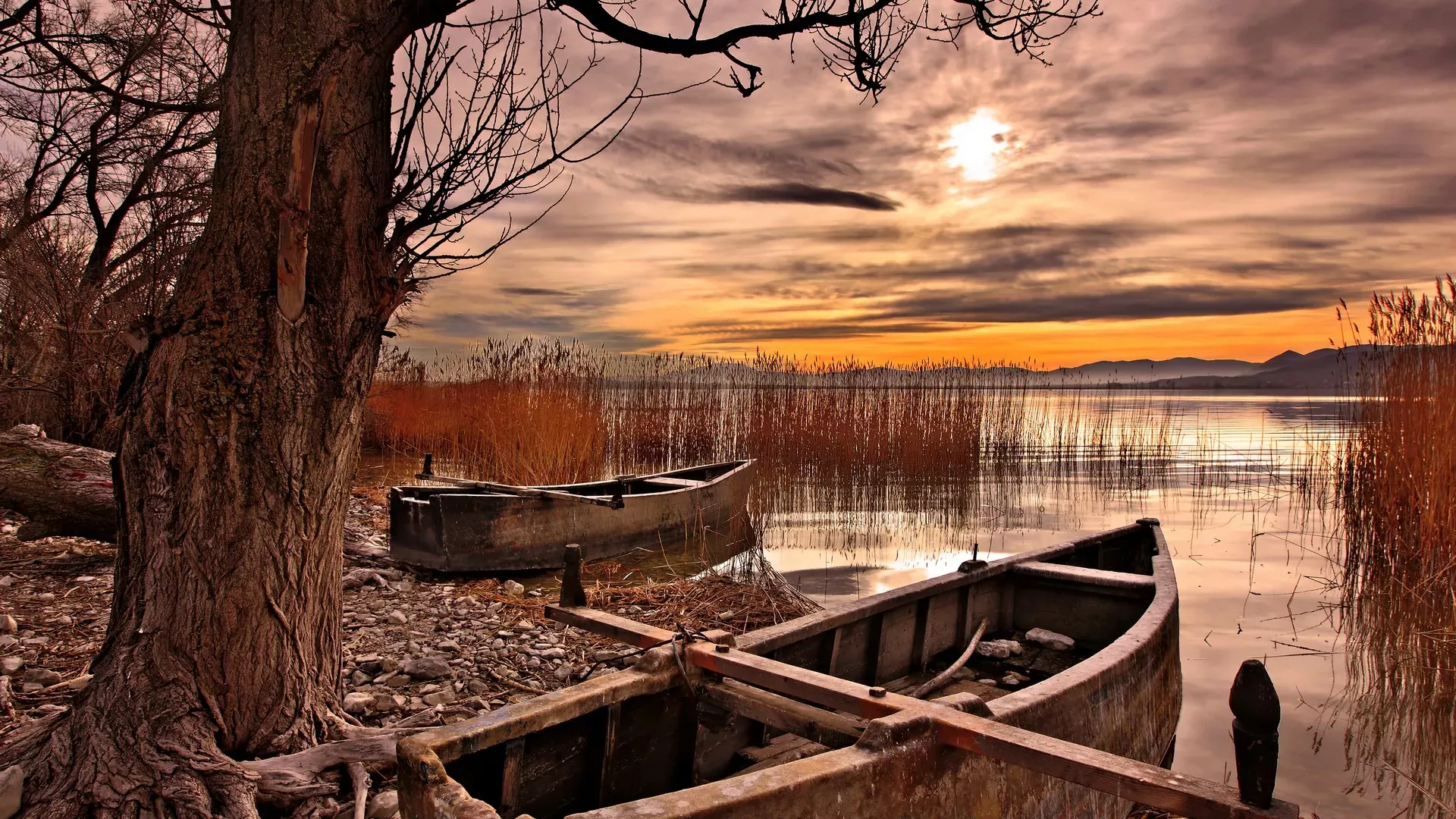
We travel to the lakes of Florina and discover magical aquatic worlds, dreamlike landscapes and villages like film sets.
Plaves emerging suddenly from the mist, flocks of birds, endless reed beds, wet meadows, islets and villages that exude boundless tranquility and serenity. Strolls around the lakes ofFlorinareveal unique scenes and well-hidden treasures. Whichever season you choose to visit, you will be faced with images that will stay with you forever.
Small and Great Prespa
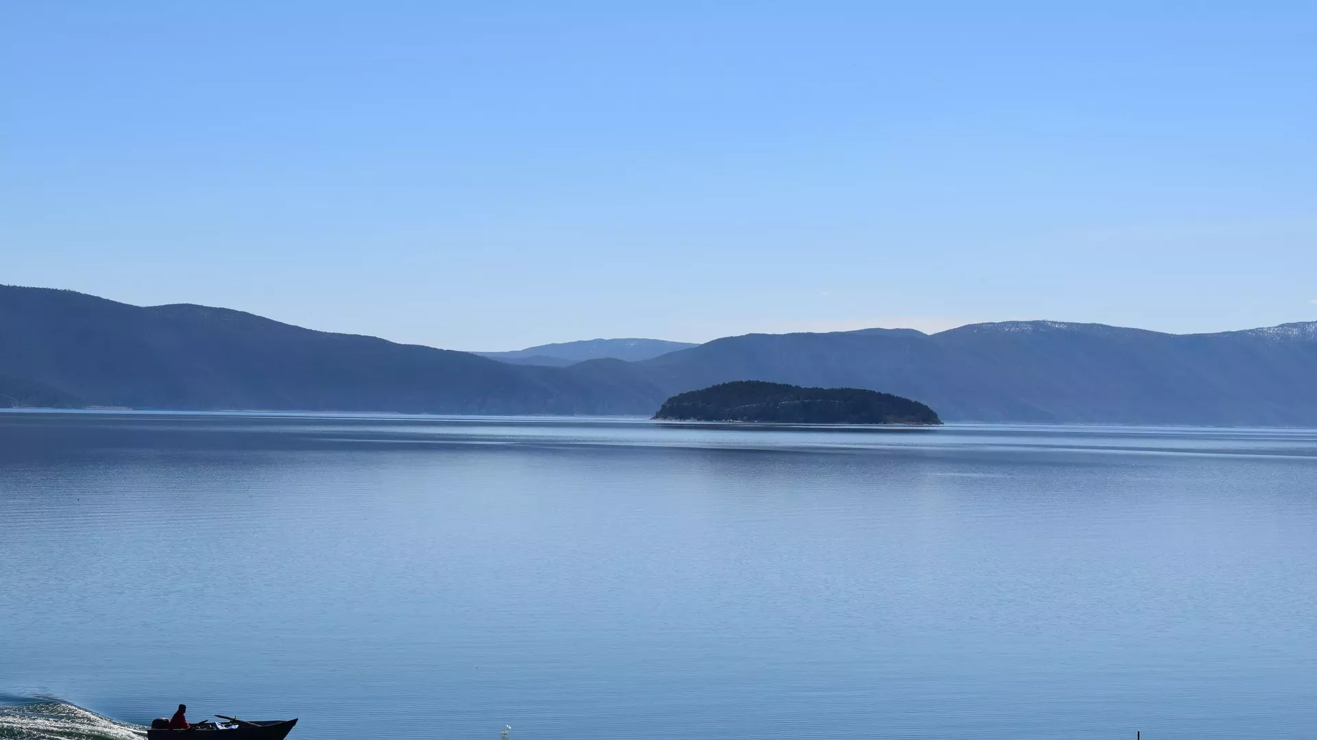
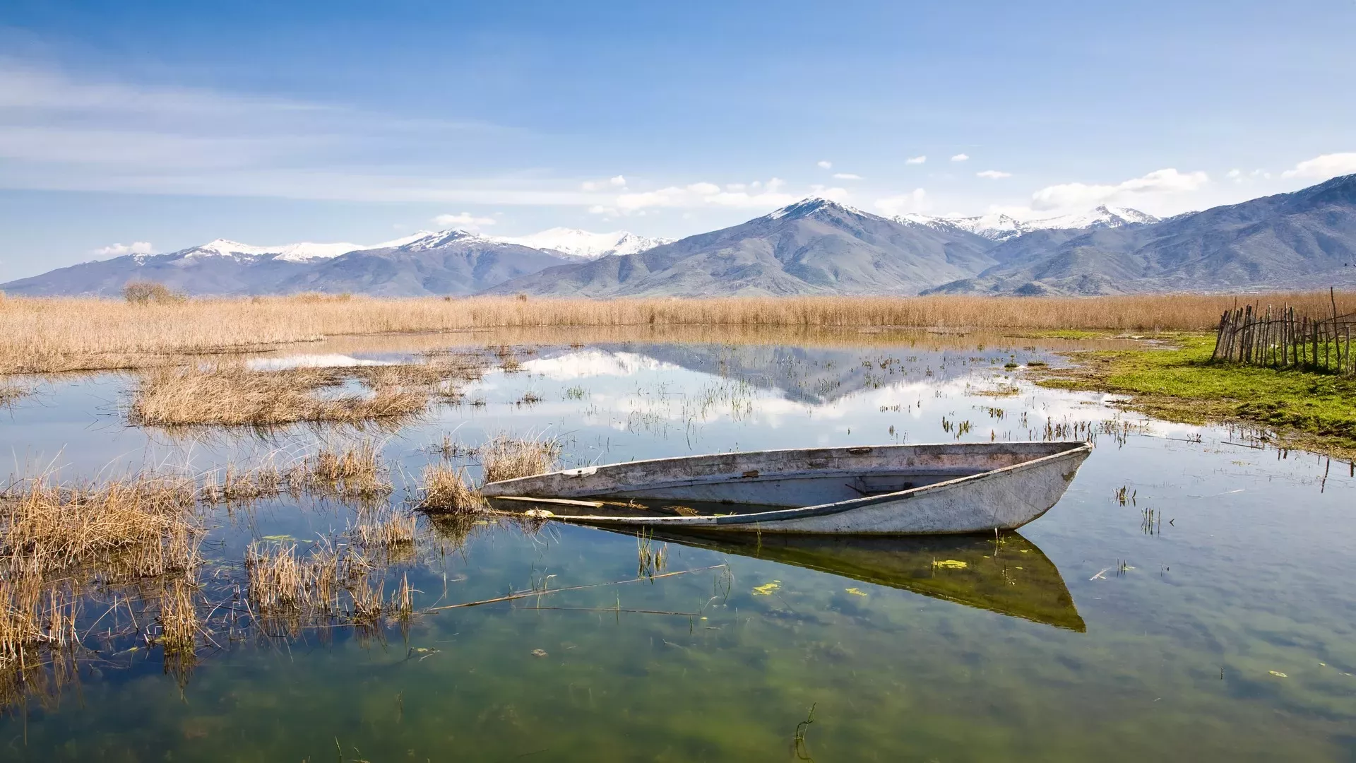
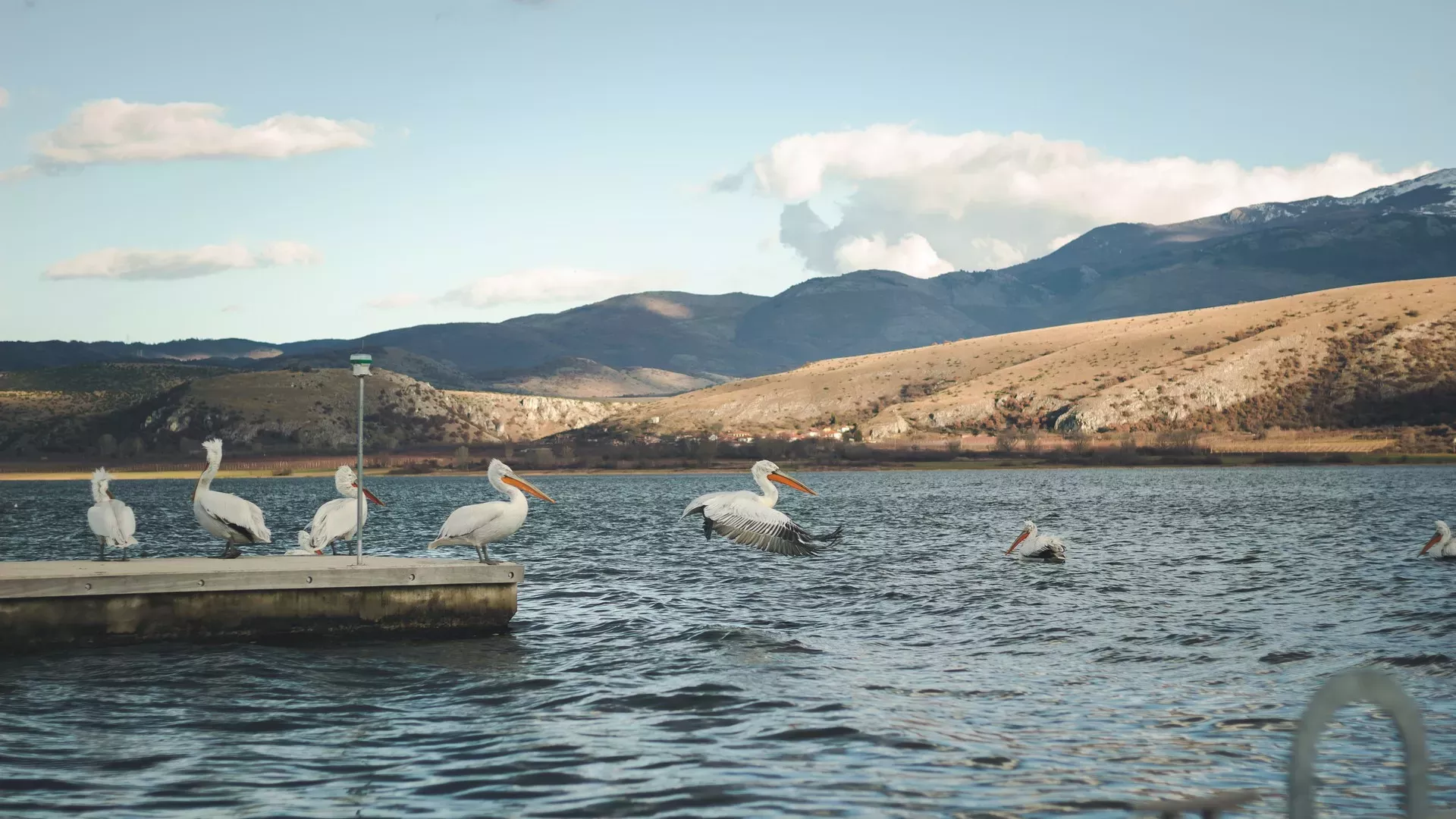
A journey you should make at least once in your life. On Greece’s northwestern borders, Prespes are a remarkable ecosystem that offers the chance for an unforgettable escape into nature. Migratory birds and water buffalo, endless reed beds, ancient settlements, fishing villages, Byzantine hermitages, sights beyond imagination.
Great Prespa lies at an elevation of 850 m., has a maximum depth of 50 m. and covers an area of 288 sq.km., while Small Prespa has an area of 44 sq.km. The lakes are protected under the Ramsar Convention, as one of Greece’s ten Wetlands of International Importance, and since 1974 have been designated as a National Park.
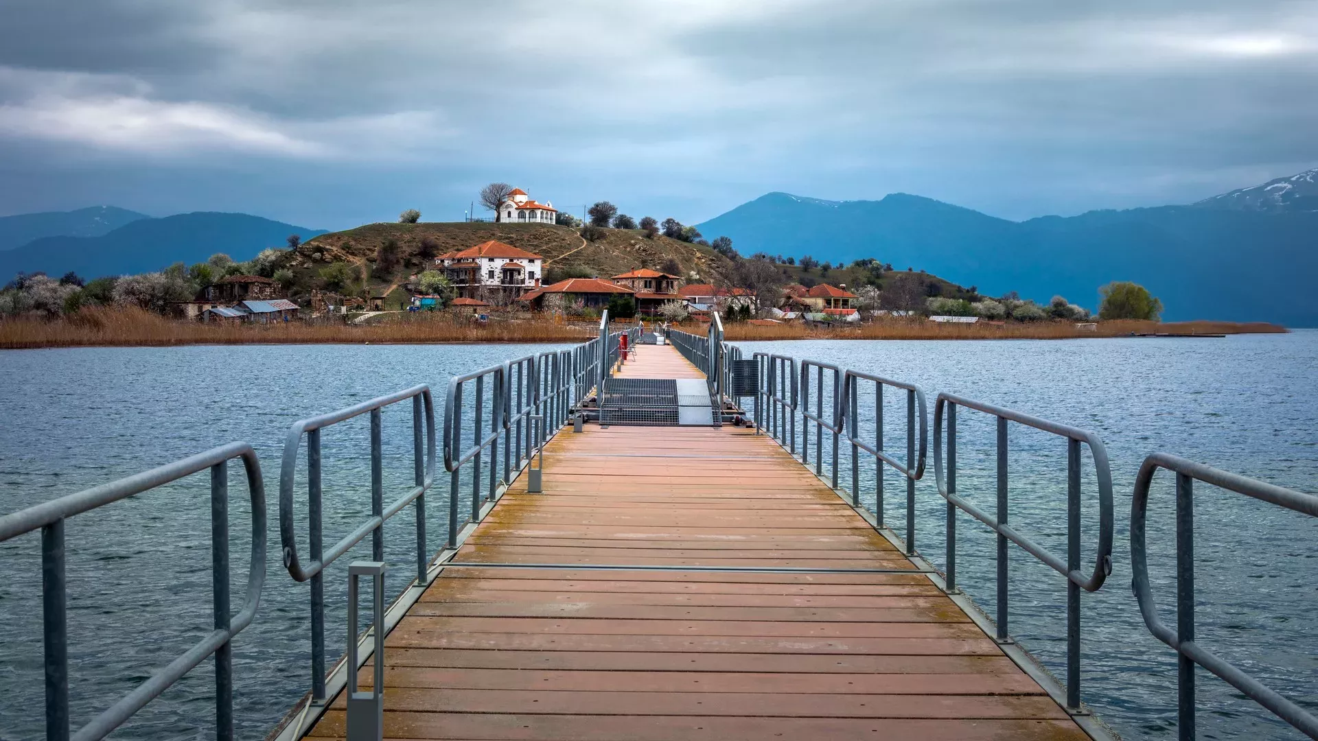
Perhaps the most iconic image of Small Prespa is the islet of Agios Achilleios, the second inhabited island on a lake in Greece, after the island of Ioannina. You will reach it via a floating footbridge 650 m. long, which was constructed in 2000. The eponymous settlement is built at an elevation of 853 m., within the lake. On the island you will find a traditional guesthouse and a restaurant.
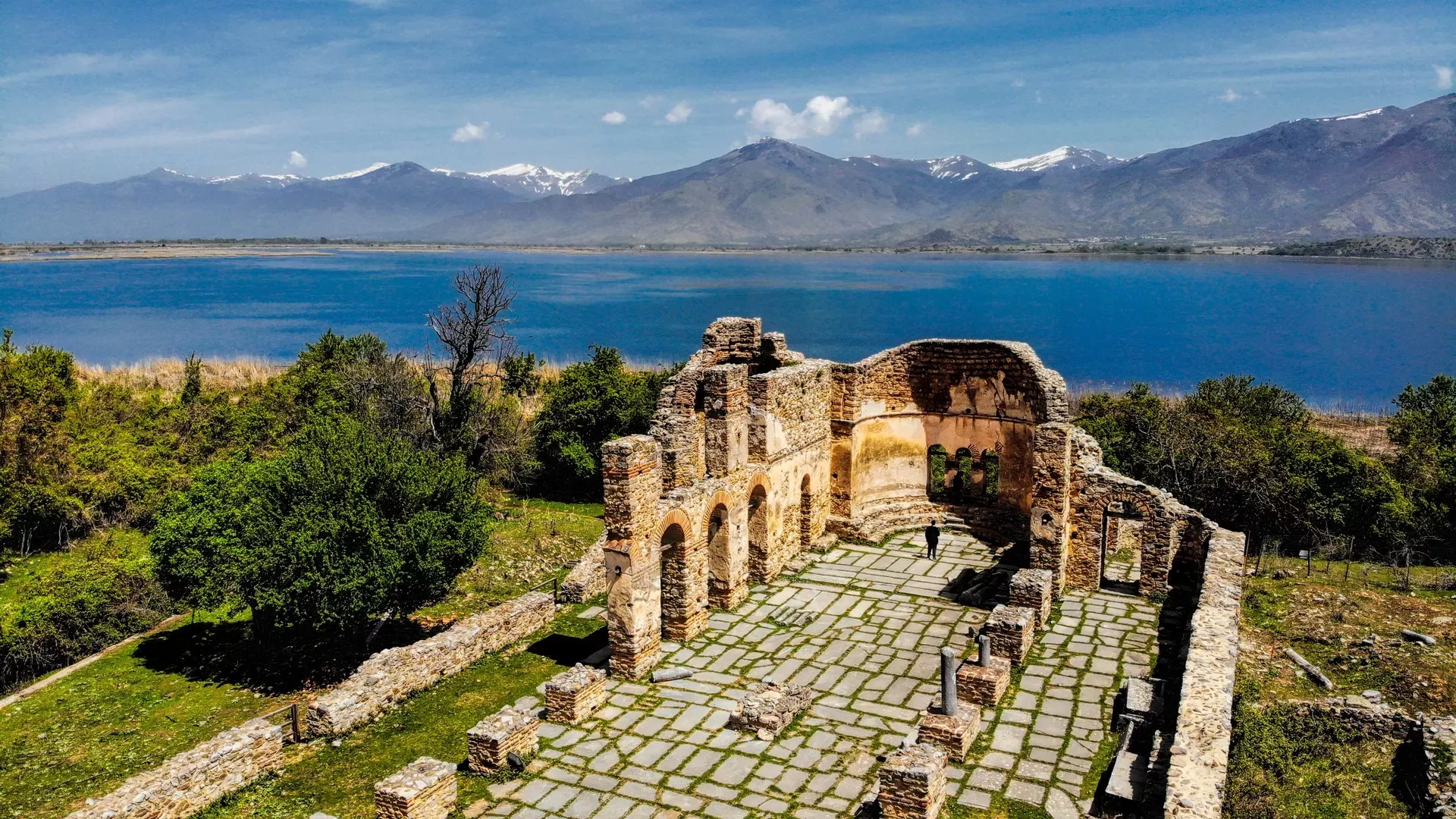
In the village of Agios Germanos is the information center for Prespa National Park, where you can learn about this rare wetland. Perched at an elevation of 1,000 meters on the slopes of Varnountas, the village looks as if it has come straight out of a movie set. In Agios Germanos you will find guesthouses and tavernas serving bean soup, lake carp, dried tsironia and other delicacies. It is also worth visiting the village of Psarades, which has been declared a traditional settlement. Built in a natural fjord of the great lake, it is reminiscent of an island village.
Zazari
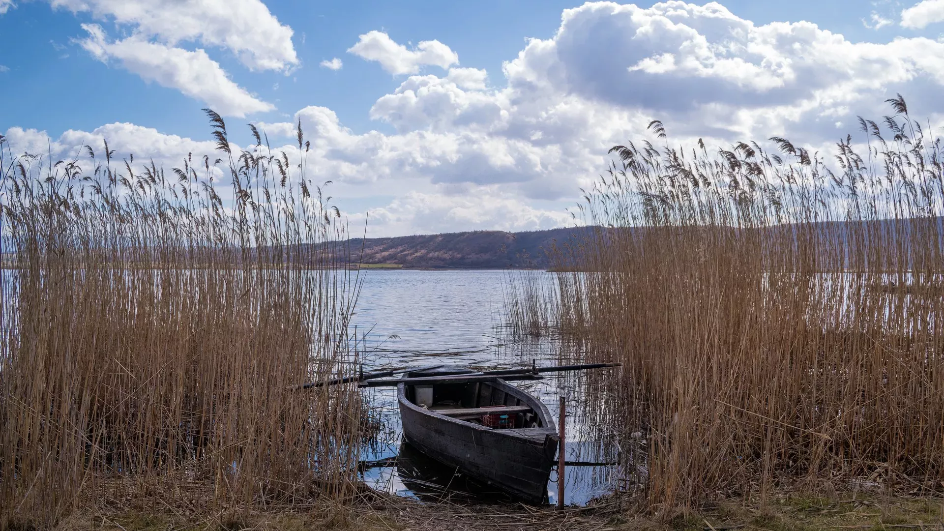
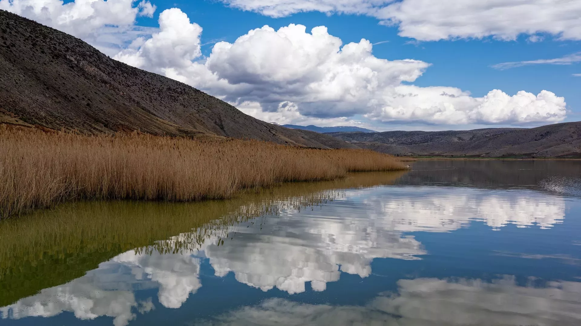
The small Lake Zazari is one of Florina’s (relatively) unknown "gems". It is one of the four lakes formed between the mountains of Verno, Vermio, Voras and Askio, together with Vegoritida, Cheimaditida and Petron, and one of the most important wetlands in Northern Greece, which belongs to the Natura 2000 network. Lake Zazari is 43 km. from Florina and lies a few kilometers south of the village of Aetos. It has a small area, about two square kilometers, a maximum depth of about 4.5 meters and lies at an elevation of 600 meters. In winter, the lake often freezes.
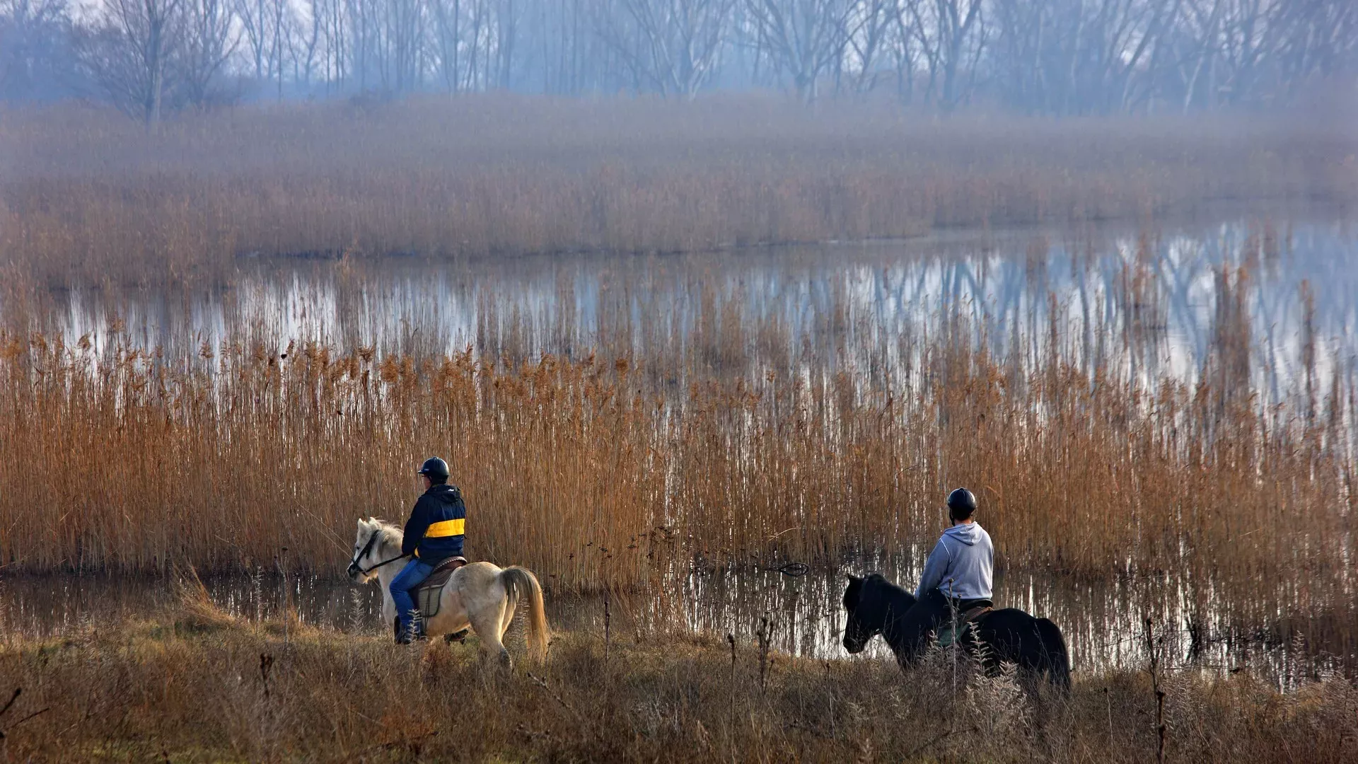
Zazari is ideal for birdwatching, as dozens of bird species find refuge in its waters, including many species of herons and rare raptors such as the golden eagle, the white-tailed eagle and the long-legged buzzard. You can also enjoy other activities, such as cycling around the lake’s perimeter, mountain biking, horse riding and hiking. On the eastern shores of the lake lies the settlement of Limnochori. Near the lake are also the villages of Valtonera, Anargyroi and Sklithro.
Cheimaditida
Lake Cheimaditida is located in the southern part of the regional unit of Florina, near the border with Kozani. It has an area of 10,8 sq.km. and lies at an elevation of 593 meters, at a distance of 2 km. from Zazari. Its average depth is 1 meter and its maximum depth is 3.5 meters. It is fed by nearby Lake Zazari and in turn feeds Lake Petron via a canal. Scientists maintain that the formation of the lake is related to geological phenomena during the period of the ice ages when the entire wider area was covered by ice.
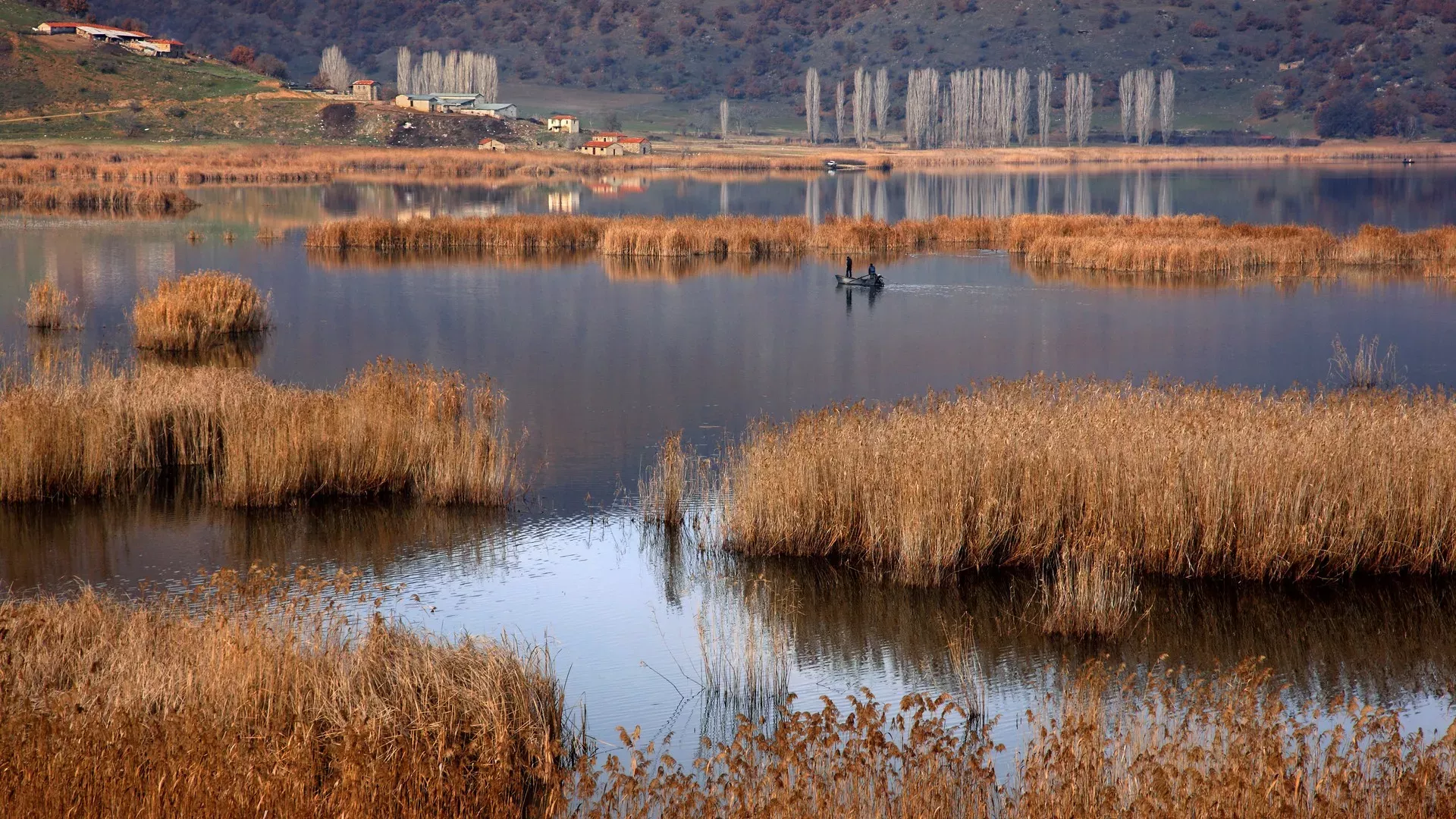
Cheimaditida owes its name to the fact that it was a place of winter pastures, as thanks to the mild climate that forms around the lake, the herders of the surrounding mountainous areas would overwinter here. The lake today is a very important ecosystem and is the most important breeding site of the ferruginous duck, which is considered a threatened species.
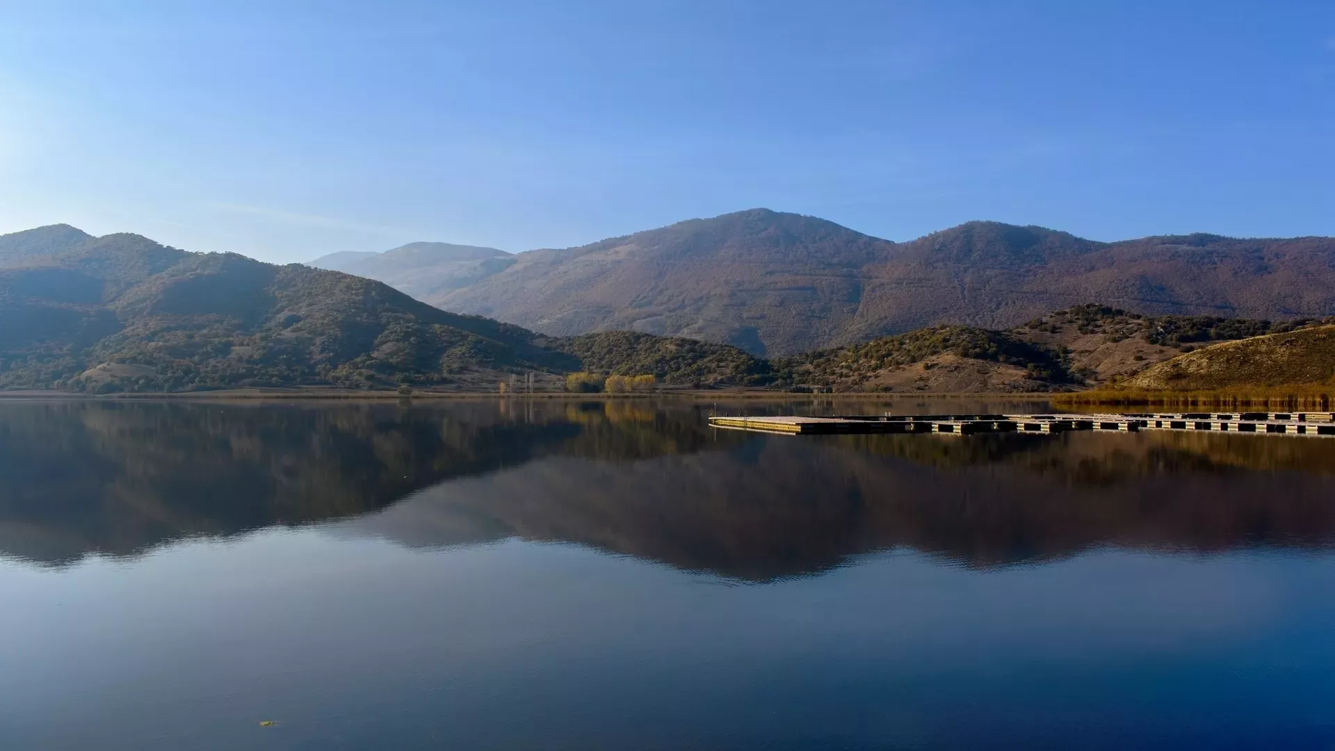
Vegoritida
Lake Vegoritida administratively belongs to the prefectures of Pella and Florina and is the third largest lake in Greece by area. The lake has an area of 54,31 sq.km., a maximum length of 14,8 km., a maximum width of 6,9 km., a maximum depth of 70 m. and lies at an elevation of 540 meters. It is surrounded by the mountains of Verno, Voras and Vermio and is the lowest point in the complex of lakes Zazari, Cheimaditida and Petron, receiving their waters through a system of canals and a tunnel.

Its precipitous shores are an ideal refuge for many wild birds, such as smews, long-legged buzzards, as well as for the globally threatened lesser kestrel. In the part of the lake that belongs to the municipality of Amyntaio, the villages near the lake are Agios Panteleimon and Vegora, while in the part of the lake that belongs to the municipality of Edessa, the villages are Arnissa, Peraia, Neos Agios Athanasios and Agios Athanasios.
Petron
Lake Petron lies a short distance from Lake Vegoritida, at an elevation of 560 meters and has an area of 12,6 sq.km. It is a beautiful and peaceful lakethat teems with life. Although it is relatively small, Lake Petron is a refuge for many birds including some rare ones such as the pygmy cormorant. Together with neighboring Vegoritida it belongs to the European network of protected areas Natura 2000.
During winter the waters of the lake often freeze, creating a unique setting. The villages near the lake are Petres (on the western shore of the lake), Agios Panteleimon (east of the lake, on the western shore of Lake Vegoritida), Kelli (north of the lake) and Amyntaio (south of the lake).


